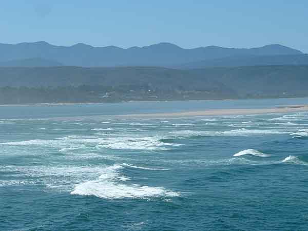
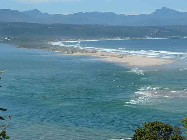
The next two photographs were taken on the 14 July 2003

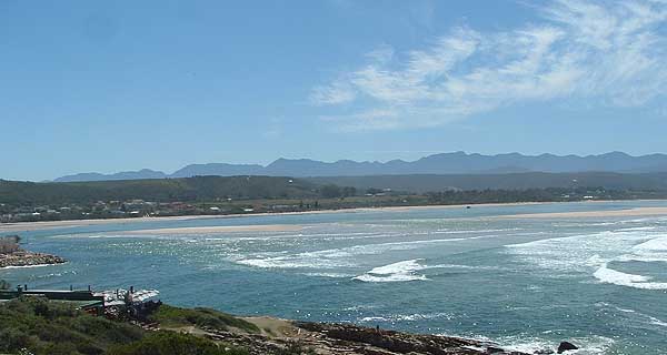
The mouth of the Keurbooms River
As you can see from the photo above the Lookout Beach extends about three hundred metres from the rocky outcrop to the then mouth of the river.
Behind the beach is a lot of alien bush which holds the drifting sand together and shelters the beach from the wind.

This photo taken from the landward side of the beach
Lookout beach and surrounds on the 29 September 2004

Lookout Beach at low tide

Lookout Beach at high tide with the incoming tide threatening the eastern end of the beach
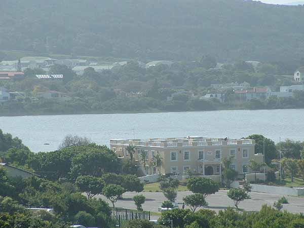
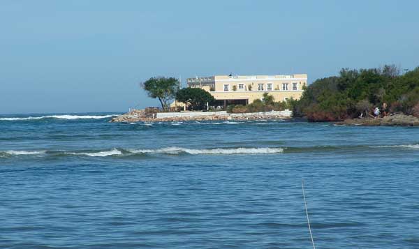
Milkwood Manor
Lookout Beach at low tide and high tide above have not changed much since the July photos were taken.
Milkwood Manor still has the beach car park and trees in front of it. Notice the level of the car park in respect to the building.

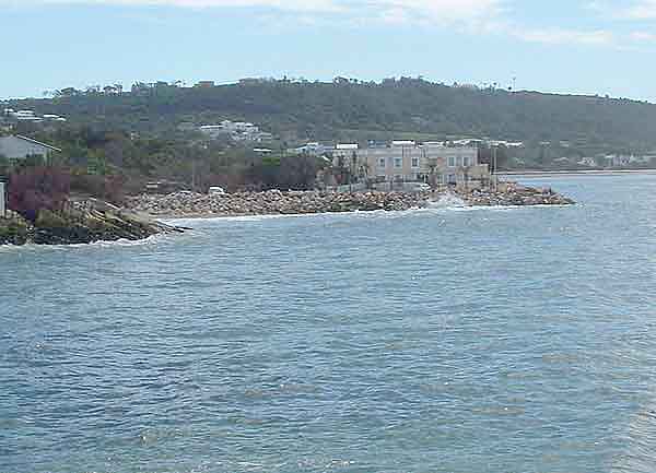
View of the Lagoon Mouth from the Formosa Garden Village road
Three years later on the 4 April 2007

The sea has moved the mouth at least a 100 metres to the west of where it was

Milkwood Manor still has its car park and trees
Then on the 23 of November 2007 all hell broke loose when the 100 year flood that was predicted happened. The mouth of the Keurbooms River moved westward to the base of the Lookout Rock
and swept everything that was in its way into the sea. The photos below were taken in September 2008 and you can see some of the damage caused by the floods.
The mouth of the river is now back where it was about 80 years ago.
Photos taken on the 28 September 2008
Lookout Beach has disappeared along with all the trees and bush that grew on it

Milkwood Manor now has deep water at its front door
The car park has gone and is covered by about five metres of water

Milkwood Manor has been shored up with some large boulders.
Should another flood and high seas occur at the same time it is possible that the Manor could be flooded and even swept be away.
Milkwood Manor photographed from the rear with waves breaking around it.
The tide sweeping into the lagoon
The lagoon mouth with a sandbank centre right which is all that is left of the west bank of the previous mouth

Map of river mouth as it is today
Photos taken on the 18 August 2012

In August 2012 the river mouth still ran past the Milkwood manor

A small beach has developed on the seaside of the the Milkwood manor
Photos taken on the 29 October 2013

The river mouth has moved eastwards to where it was in 2004

A full beach has developed outside the Milkwood Manor
Its amazing how nature works. The next time there is a large flood in the river the mouth will most probably move back towards the Lookout rocks.
Photos taken on the 29 April 2014

Sand dunes appear to be developing near the front of Milkwood Manor.

People swimming and tanning on Lookout Beach.
Photos taken on the 6 August 2014

The beach has not changed much since April 2014 except that it is winter and there are no swimmers on the beach

This photo taken from the hill behind the lagoon. It shows the new mouth and where it is positioned now.
Photos taken on the 26 march 2015

The mouth has not moved much in the last six months

Lookout Beach is back and is being used for swimming

Milkwood Manor now has a lovely sandy beach around it.
Photo of the river mouth in October 2024.


Milkwood Lodge as it is now. The sand is slowly encroaching and is now covering the rocks that were there to protect the lodge from the sea.
I will continue to monitor the river mouth every time I visit Plettenberg Bay and will add new photos as things change.
